Geocaching
El geocaching es la fórmula mágica que hace que el senderismo sea enormemente emocionante.
La mejor manera de describirlo es como una moderna búsqueda del tesoro. Un “caché” es un tesoro marcado con coordenadas geográficas.
Para encontrar los tesoros en el LIVINGROOM Hochkönig, necesitas un simple dispositivo GPS, las coordenadas y la descripción del tesoro. Introduce la geocoordinación en el dispositivo GPS y deja que te guíe hasta el tesoro.
En la recepción de Arthurhaus podrá obtener un dispositivo GPS y una descripción de los tesoros. Basta con leer la descripción de los tesoros, introducir las coordenadas geográficas en el dispositivo GPS y empezar a caminar.
Puede encontrar todos los geocachés del Hochkönig en el sitio web oficial de geocaching:
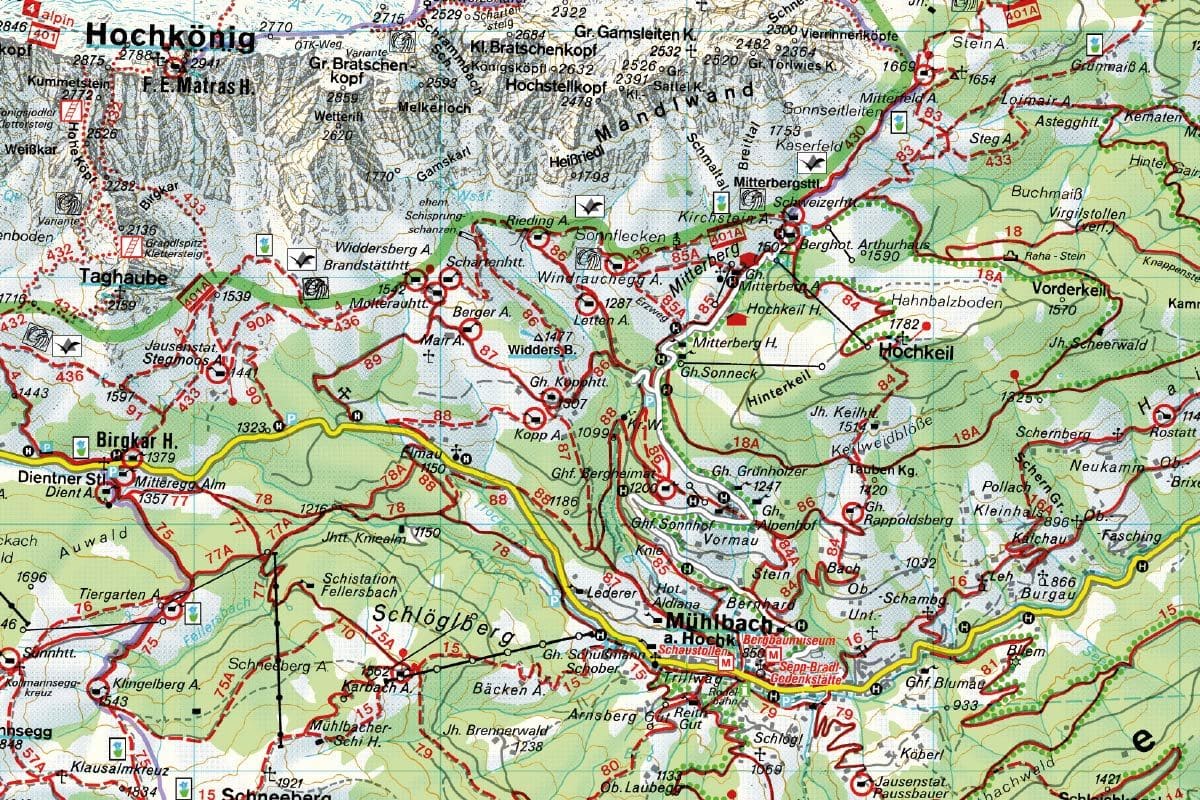
Cachés alrededor del Berghotel Arthurhaus
- Creo que puedo volar N 47° 24.574 E 013° 07.697
- La Gran Muralla China en Hochkeil N 47° 24.034 E 013° 08.076
- Los caminos del Señor son misteriosos N 47° 24.142 E 013° 08.465
- Maschinendoserl N 47°24.262 E 013°07.359
- Y saluda diariamente a la marmota N 47° 24.627 E 013° 06.470
- Las cuatro cabañas del Hochkönig N 47° 24.059 E 013° 05.383
- A1 – Sin posibilidad de aludes N 47° 24.759 E 013° 07.524
- A2 – Un pequeño arroyo de montaña balbucea N 47° 24.808 E 013° 07.789
- Cerca del Mitterfeldalm N 47° 25.427 E 013° 08.201
- Cerca del Windraucheggalm N 47° 24.488 E 013° 06.872
- En el Kopphütte N 47° 23.866 E 013° 06.228
Cachés en Mühlbach am Hochkönig
- El secreto de Bambi N 47° 23.771 E 013° 04.413
- En la casa crujiente N 47° 23.901 E 013° 04.141
- En la casa de la montaña N 47° 23.544 E 013° 06.867
- Cristo-árbol N47°24.699 E 013°08.506
- La raíz podrida en el bosque N 47° 23.645 E 013° 06.756
- Excursión familiar al Pronebenalm 1 N 47° 22.095 E 013° 08.430
- De camino a Erichhütte N 47° 23.925 E 013° 02.471
- Caché de Hochkönigsjodler N 47° 25.085 E 013° 03.185
- La cabaña junto al arroyo N 47° 23.757 E 013° 08.312
- Schneeberg N47°22.163 E 013°04.406
- El antiguo molino del Mühlbach N 47° 22.622 E 013° 07.305
- Am Rohrmoosriedel N 47° 22.794 E 013° 07.280
- En el castillo amurallado N 47° 23.214 E 013° 06.474