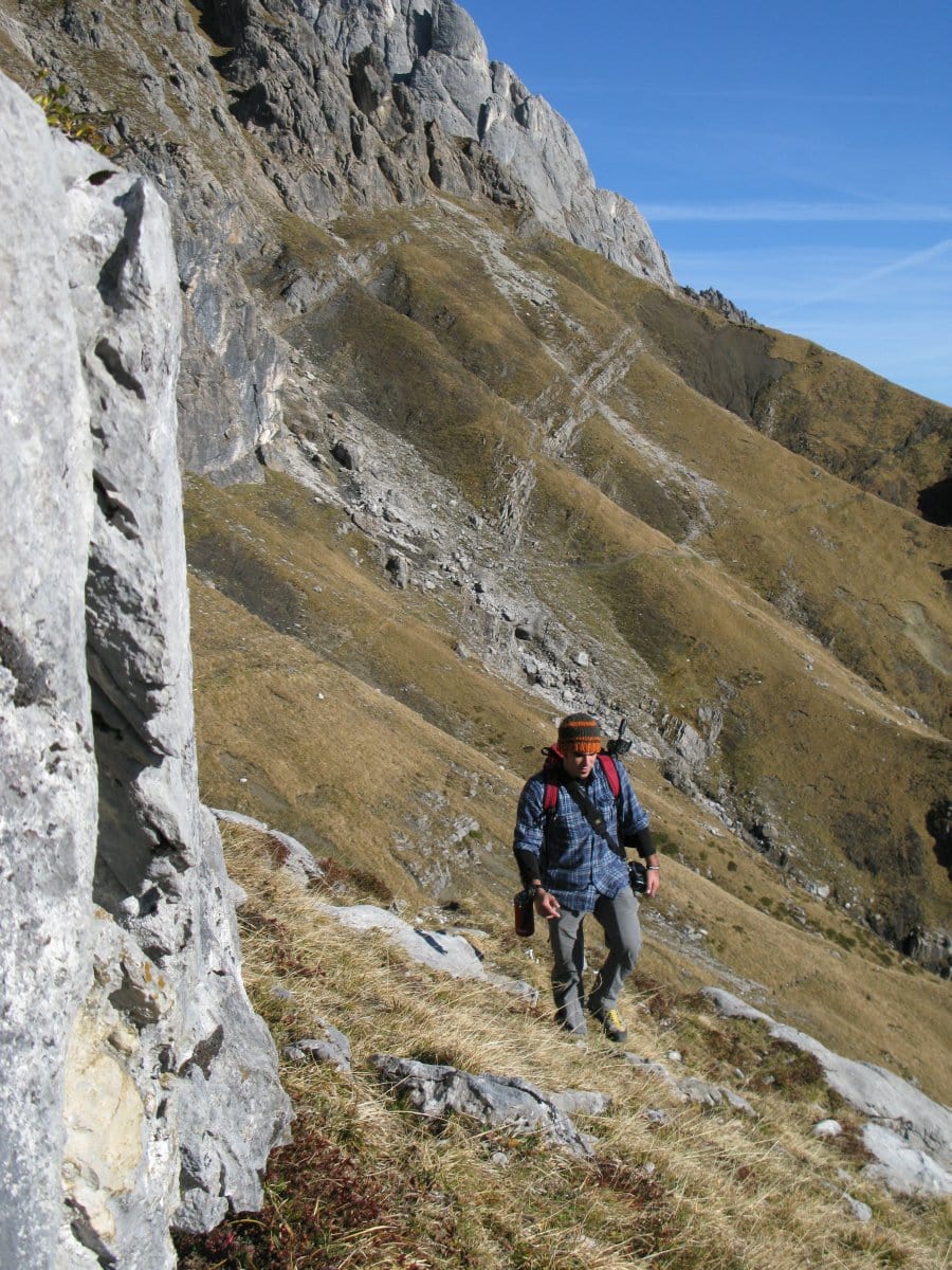
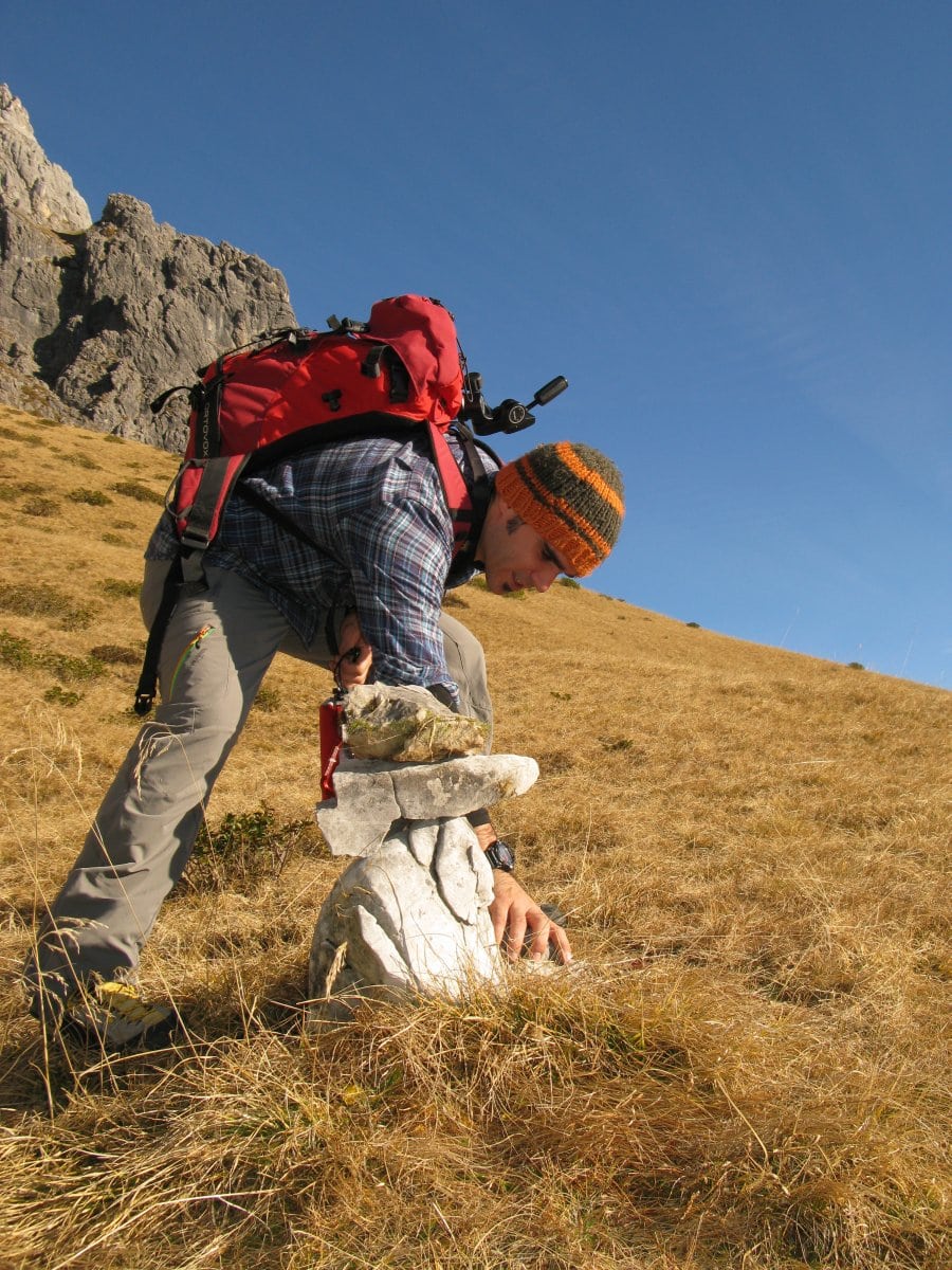
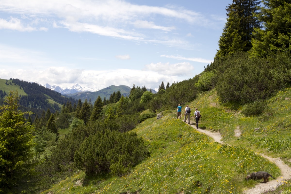
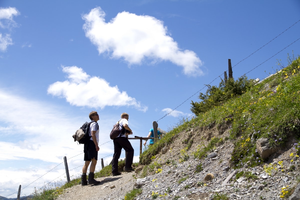
Hiking
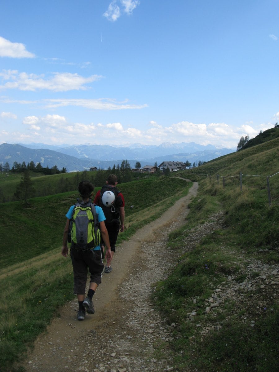
In the LIVINGROOM Hochkönig, in Mühlbach and the Hochkönig region there are 140 km of marked hiking trails…
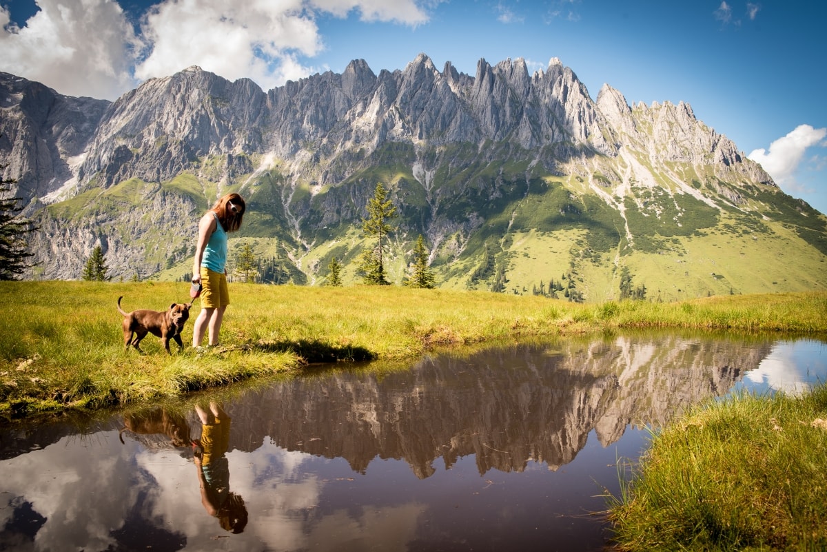
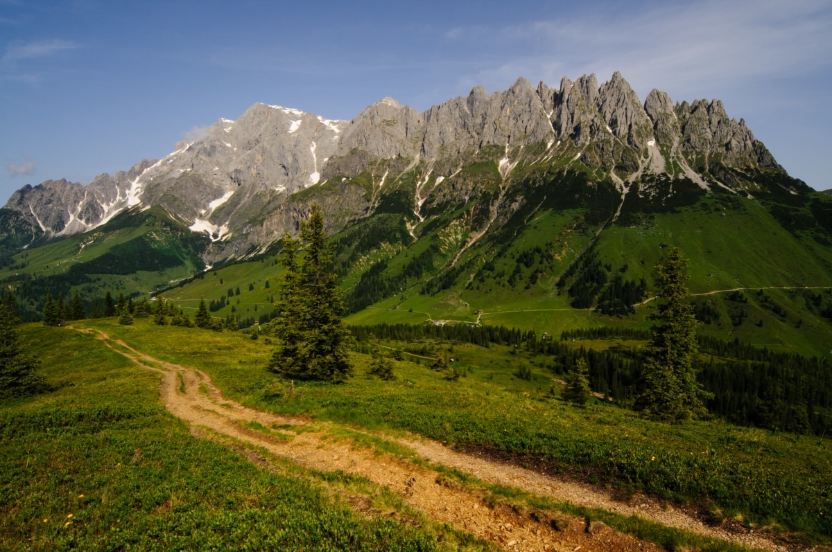
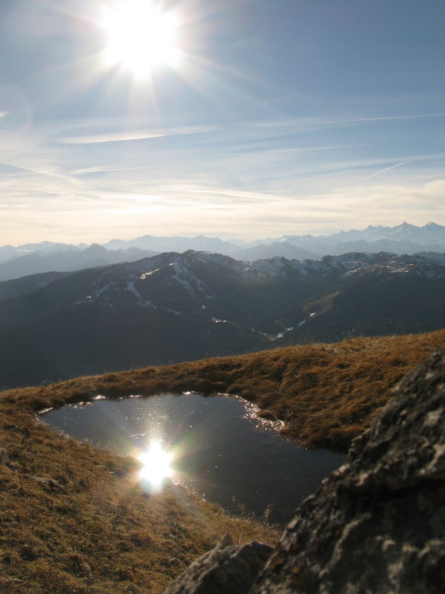
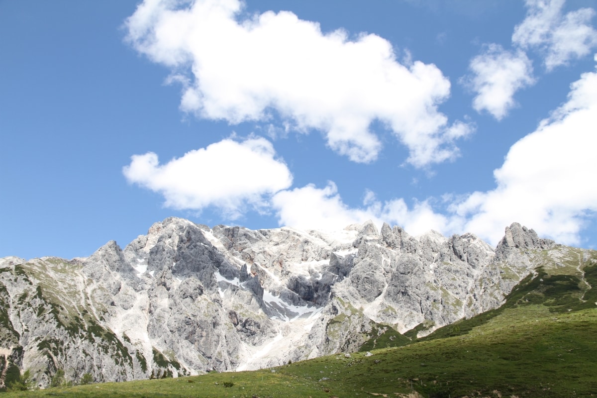
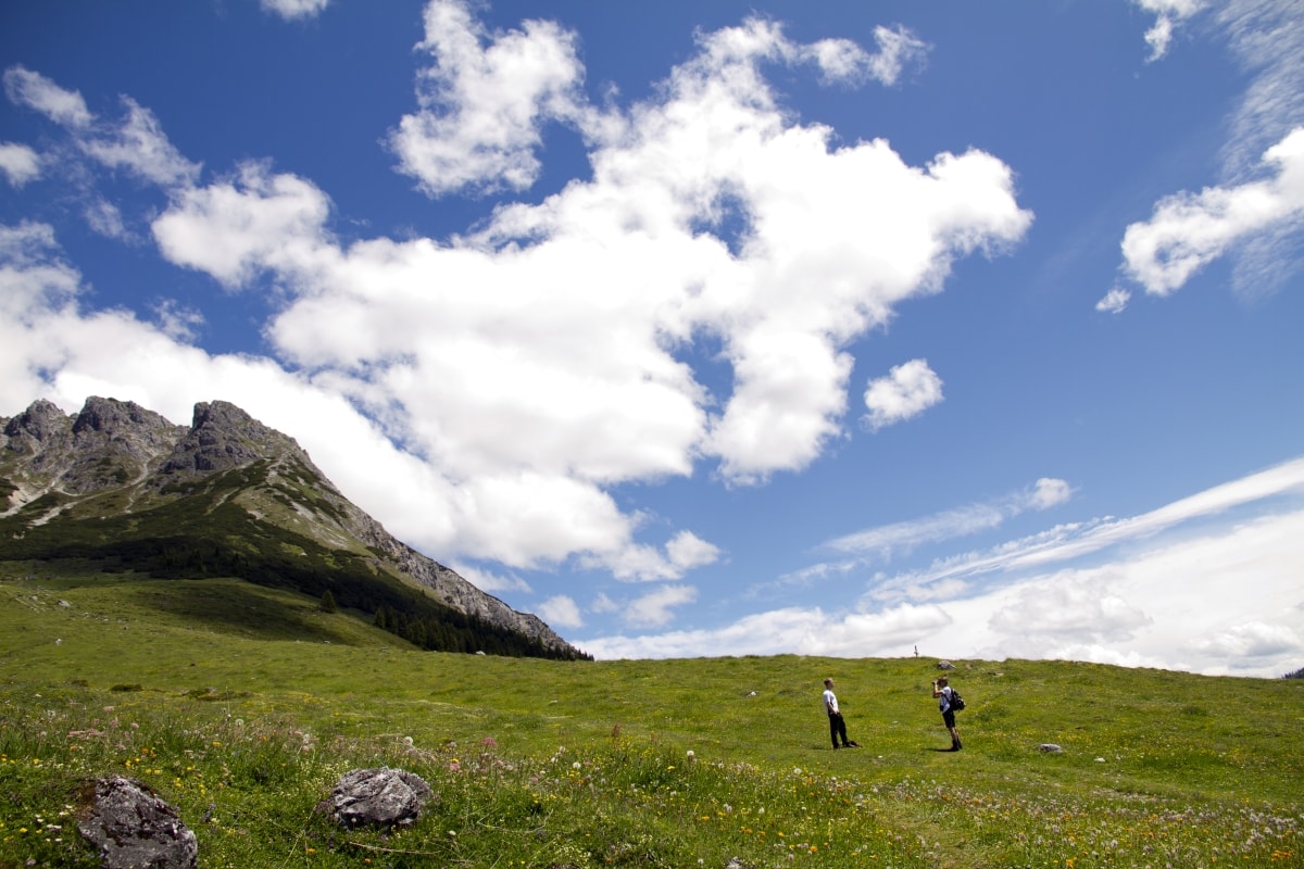
… From leisurely hikes across alpine meadows to challenging mountain tours in rock and ice, the nature reserve “northern Kalkhochalpen” opens up around the mountain hotel Arthurhaus. Nestled between Hochkönig and Hochkeil, the Arthurhaus is located at 1500 m in the center of the leisure mountain Hochkeil.
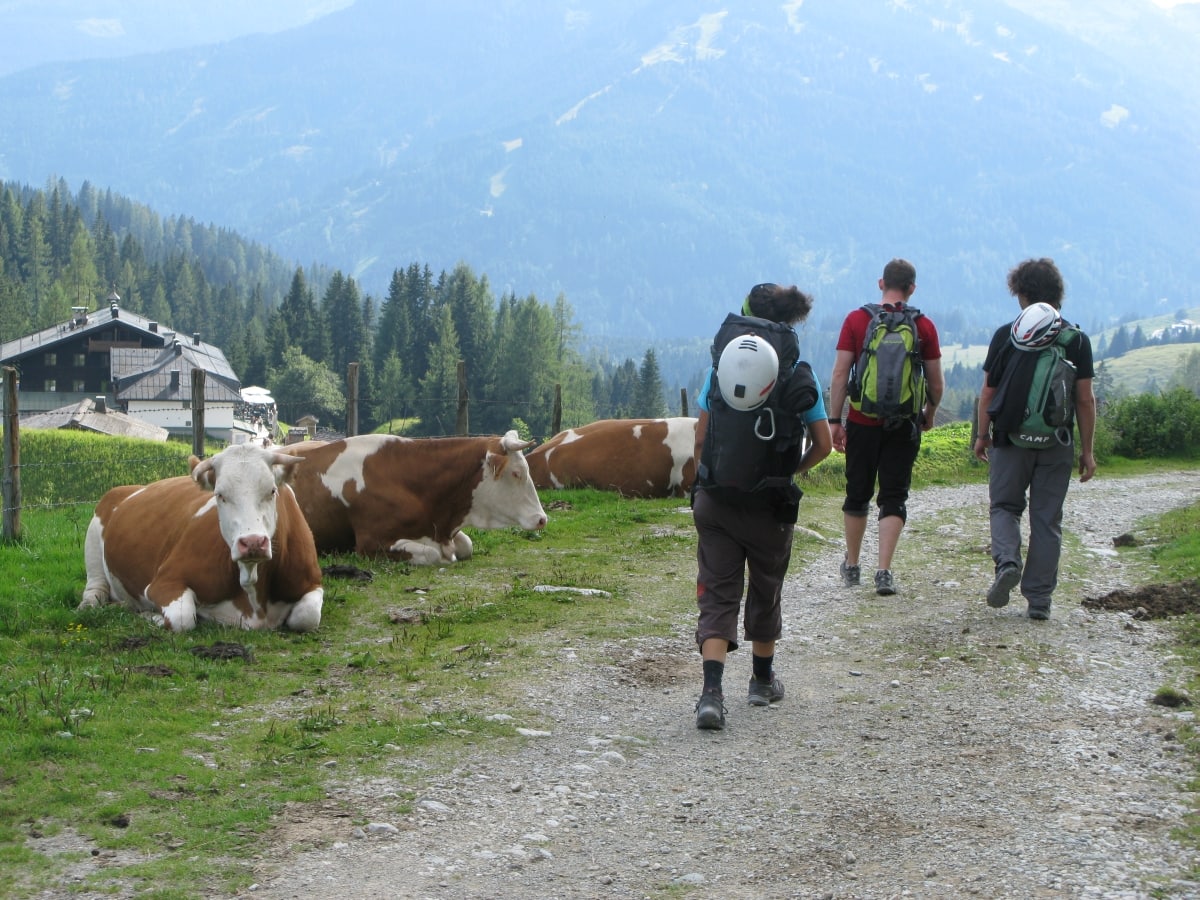
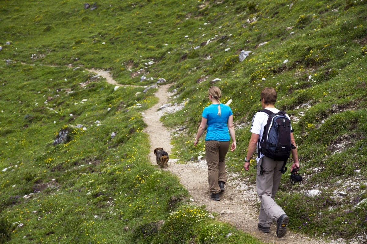
Without much effort, walking trails lead from the Arthurhaus into the Riedingtal valley to the Windraucheggalm, Riedingalm or the Mitterfeldalm. These wide paths are well suited for strollers. There you can expect hearty alpine products such as bacon, cheese, milk and fresh farmhouse bread, as well as the warmth of the alpine people.
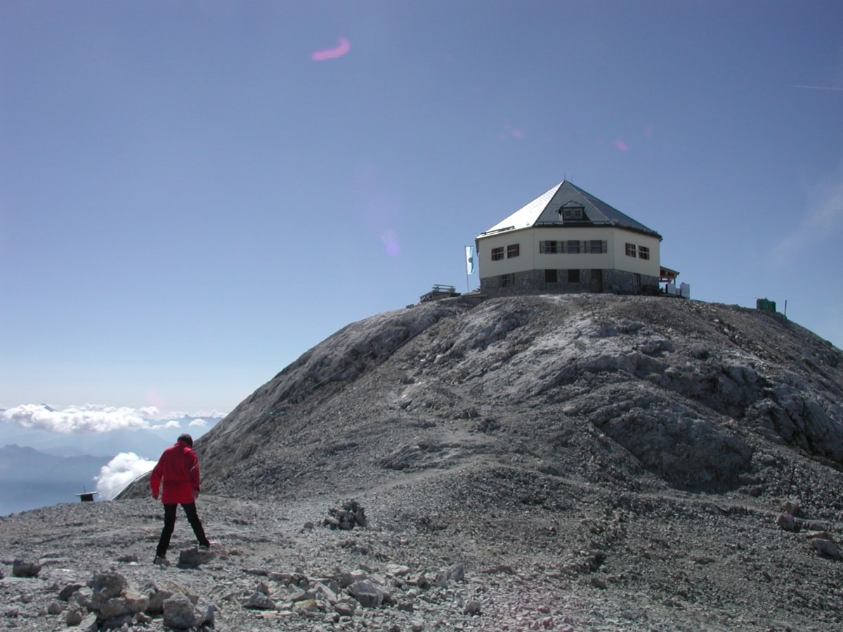
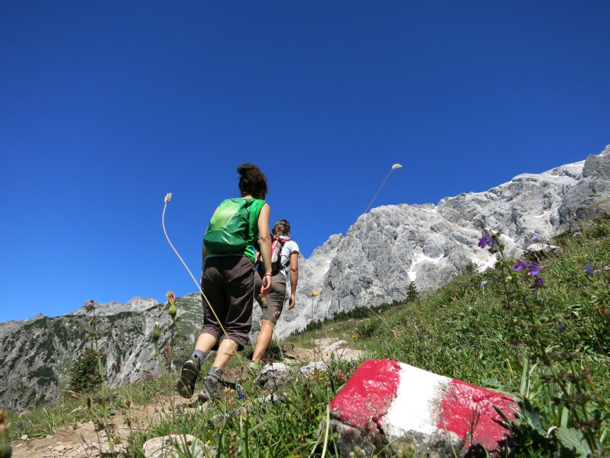
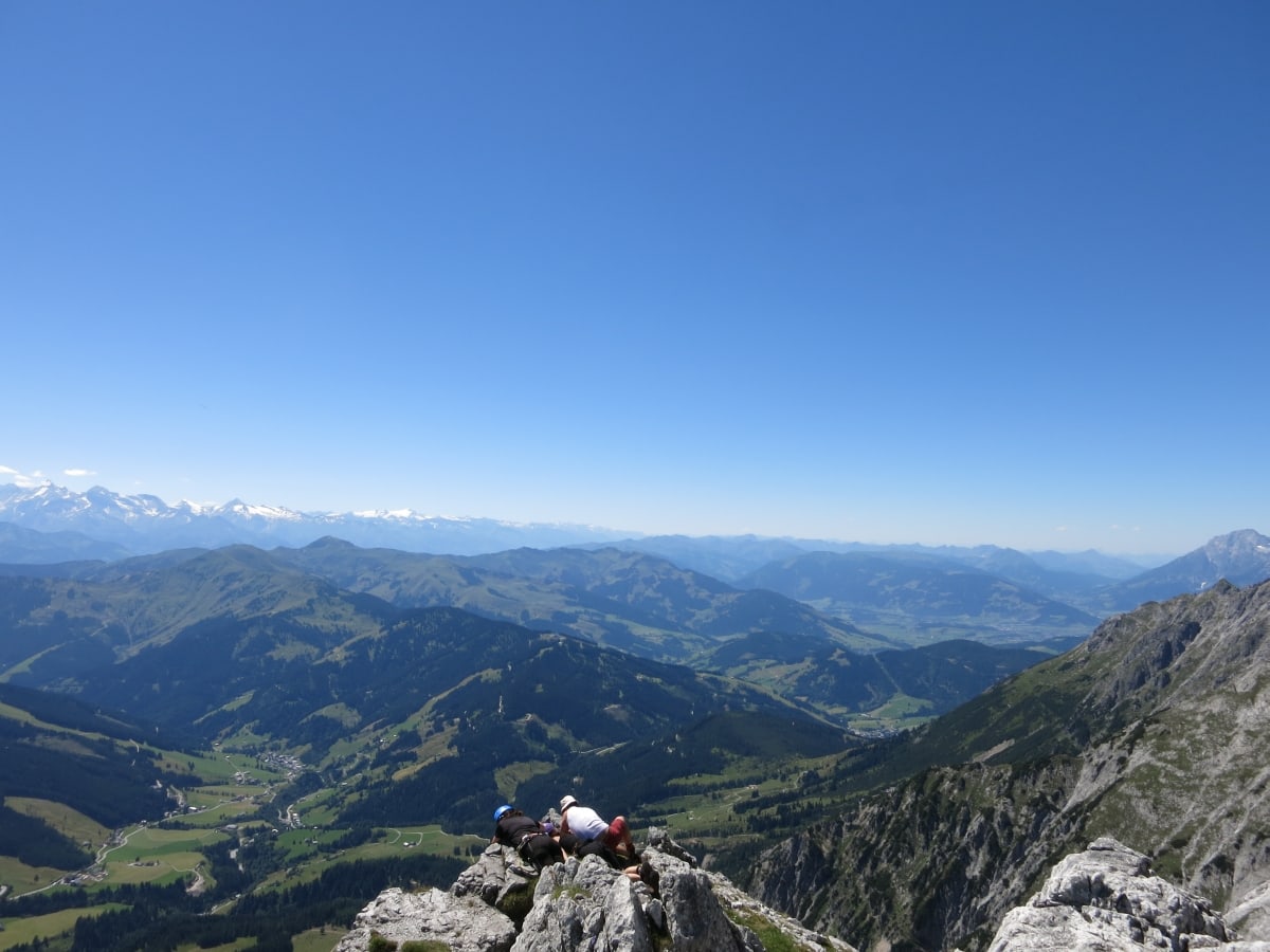
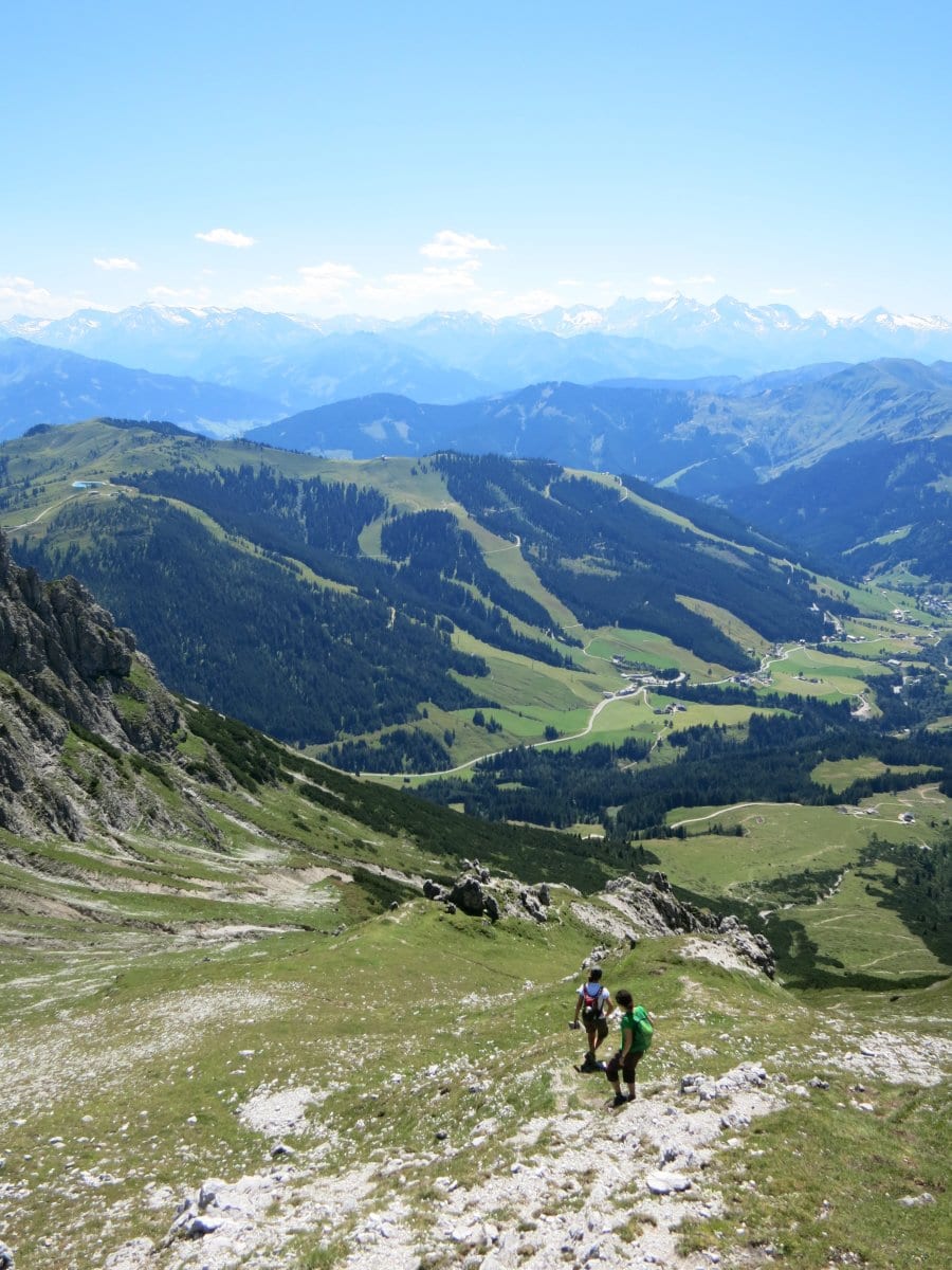
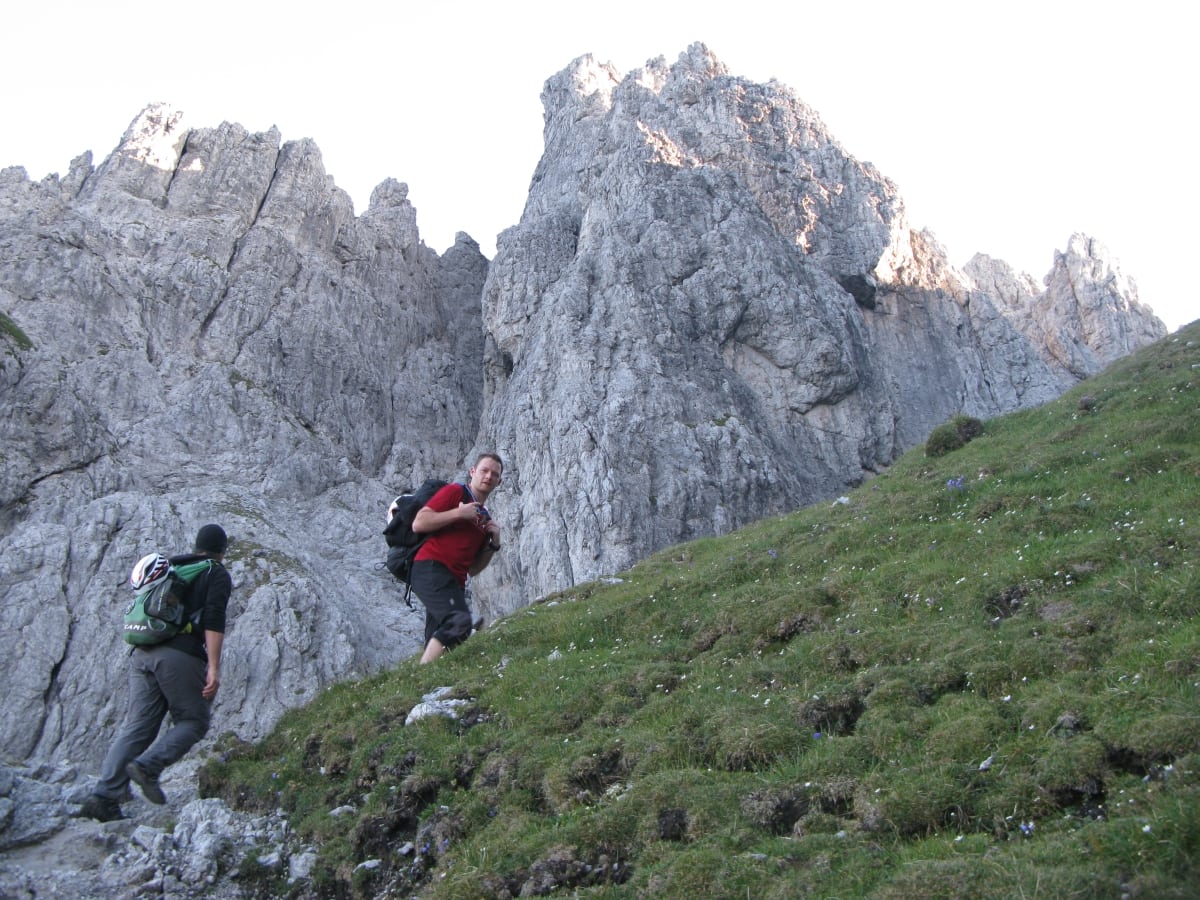
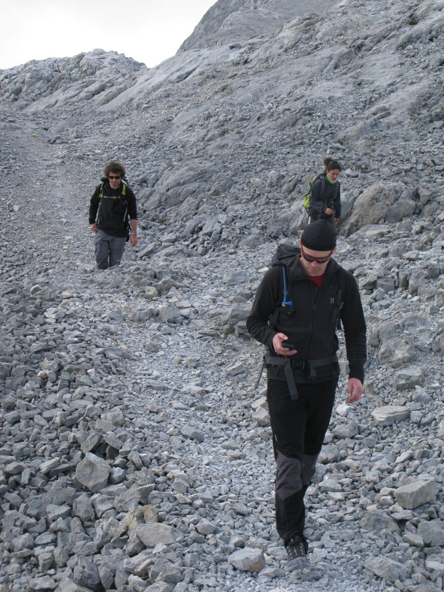
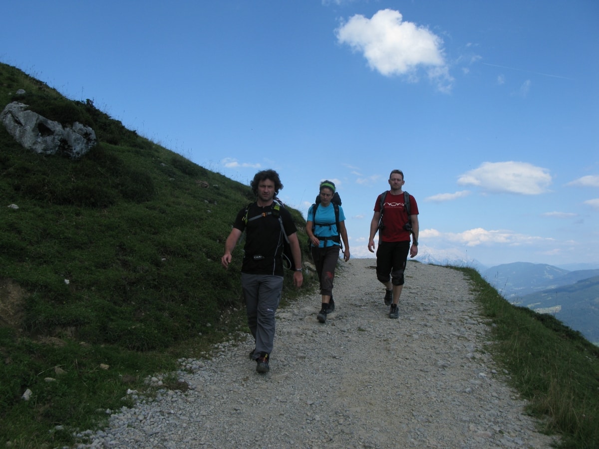
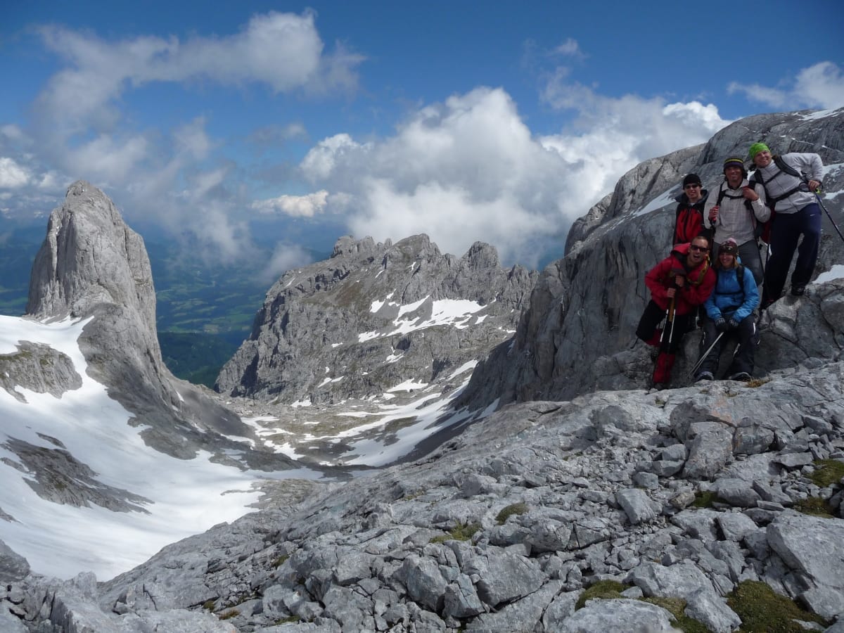
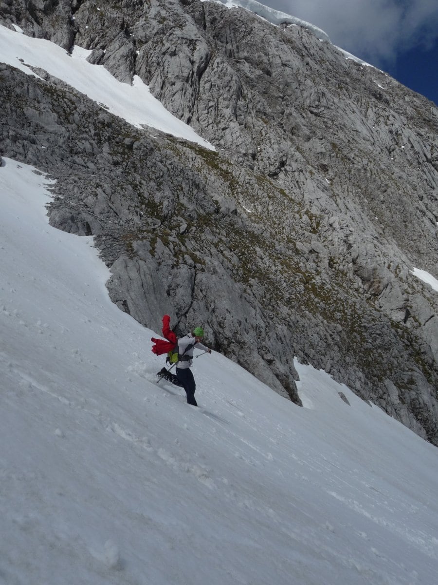
Numerous long-distance hiking trails also lead around the Hochkeil leisure mountain: the Salzburg Almenweg, the Arno Trail and the Via Alpina use the Arthurhaus as a leisurely stage destination. Our three themed hiking trails “Mitterberger Erzweg”, the marmot trail and the healthy and slim hiking trail convey all kinds of interesting and curious facts. The king tour of every hiking week leads from the Arthurhaus via the Mitterfeldalm to the Matrashaus at the summit of the Hochkönig at 2,943 m.
Our hiking bus (until mid-October) takes you effortlessly into the magnificent mountain world, to catered huts and alpine pastures. Between Bischofshofen, Mühlbach/Arthurhaus and Dienten the Hochkönig hiking bus runs daily, from mid-June to mid-October. The current timetable with departure times and prices as well as hiking suggestions can be obtained from the Mühlbach Tourist Office at +43 (0)6584 20388-40 or muehlbach@hochkoenig.at.
Theme trails in Mühlbach am Hochkönig:
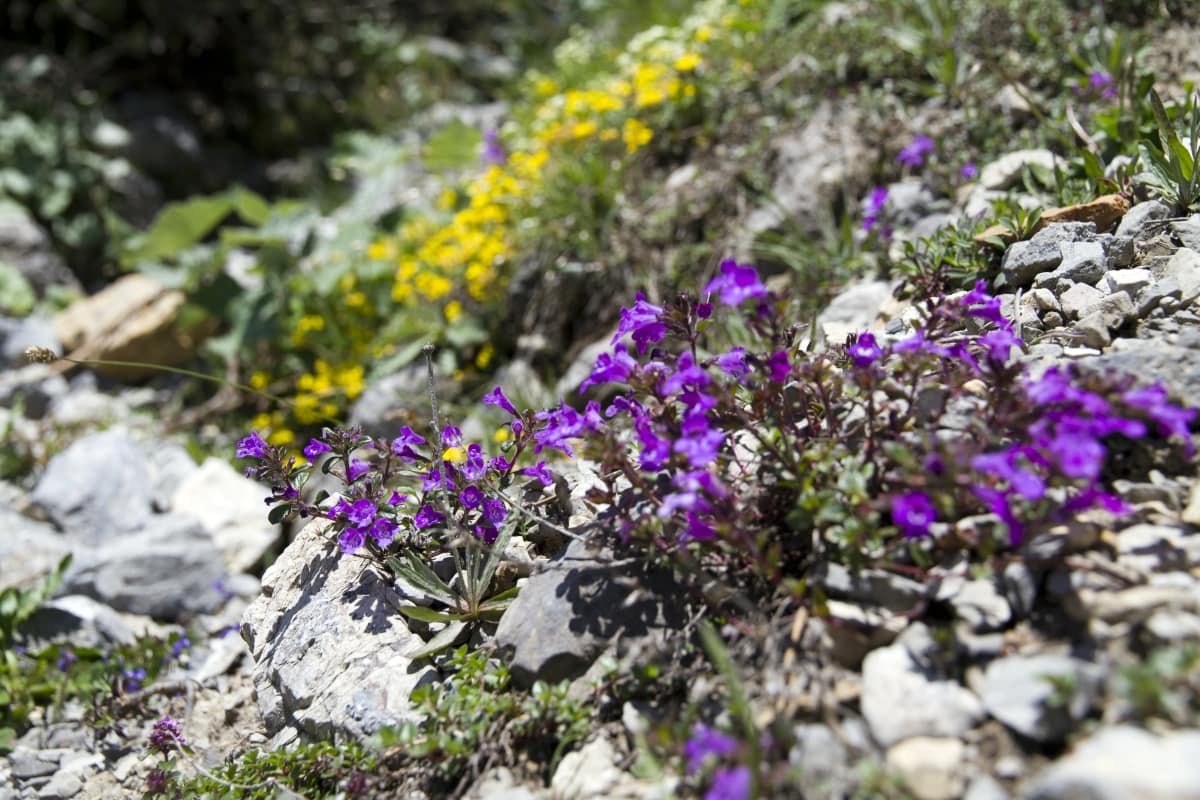
Three themed trails start directly in the LIVINGROOM at the Arthurhaus and are very suitable for families. The marmot trail is also suitable for strollers.
Groundhog trail – into the realm of the lazy
The marmot trail begins at the sign on the right behind the Schweizerhütte alpine dairy. It leads on a wide, flat gravel path in a length of about 1 km to the Kreuzberg- mahd into the “realm of the lazy of the Hochkönig”. Large panels describe the life of the marmots on the Hochkönig. At close range you can observe a colony of about 20 marmots. Two wooden benches invite you to linger. In 15 min. you hike back again and can then feed the tame marmots in the enclosure with carrots.
Mitterberg ore path
Embark on an exciting journey through the history of copper mining in Mühlbach am Hochkönig. 15 stations with information boards accompany you on the way past the prehistoric mining sites (Bingen), to the tunnels of the modern copper mining. Hike through the wild Barbara Gorge and the old Mitterberg road to Viererwasch, before the trail leads along the route of the old field railroad to Mühlbach. The length of the trail is 5.5 km and 640 meters of descent. You should allow about 2 – 3 hours for the walk.
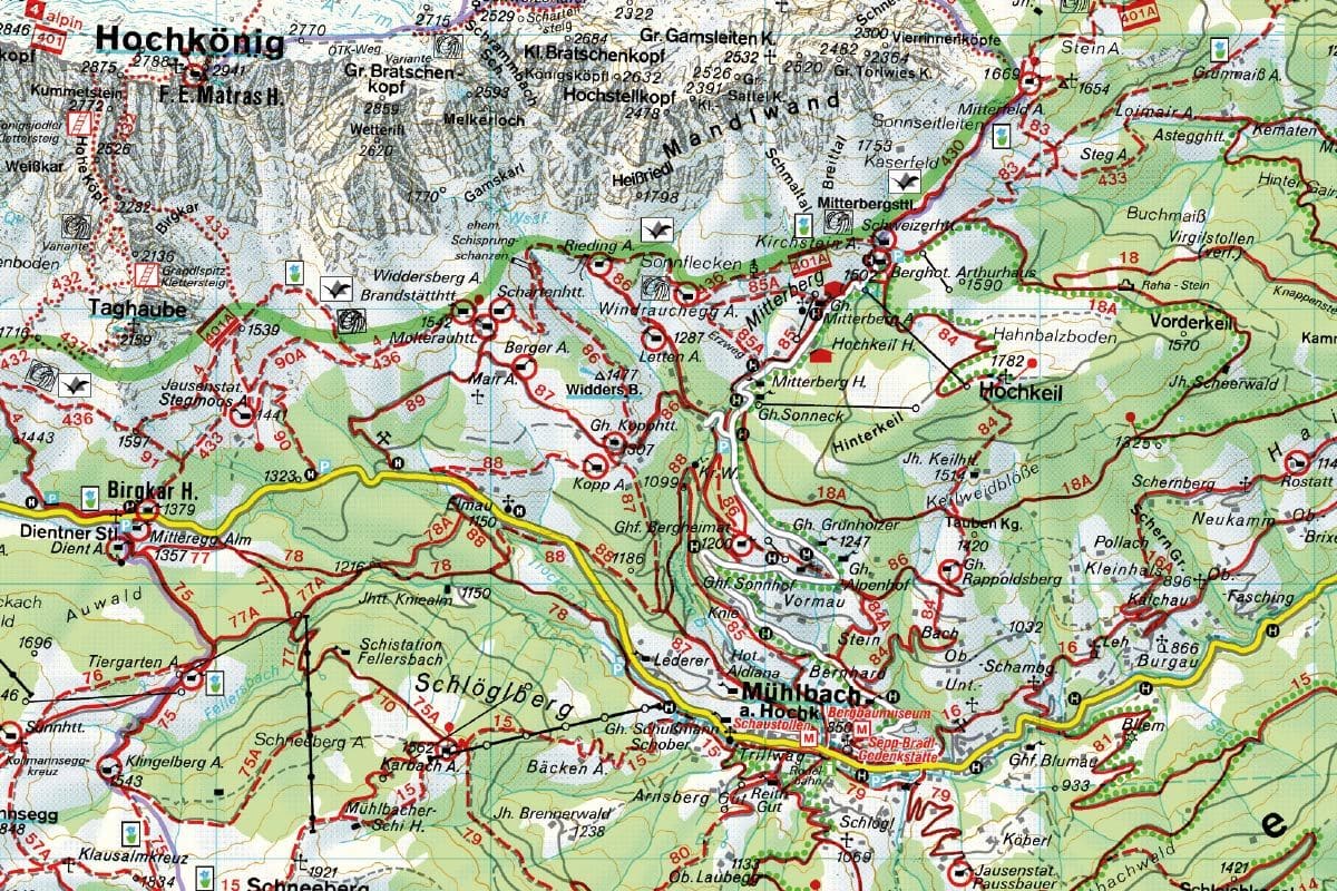
Hiking map PDF hikingBus schedule high season hikingBus schedule low season Bus schedule Bischofshofen – Mühlbach